Here’s the recent geonews in batch mode.
On the open source / open data front:
- A webinar Friday next week named Introducing the QGIS Academy Project
- Nice to see, Over 1 million New York City buildings and addresses imported to OpenStreetMap
- Because that’s the kind of maps we want to show our friends, Showing geotagged photos on a Leaflet map and from Bjorn too, Geotagging photos using GPS tracks, ExifTool and Picasa and while we’re at it, Making a real time travel map
- If you can’t wait (and it’s a nice cover), Releasing code samples for The Book of OpenLayers 3
- In software updates, GeoServer 2.4.8 Released and GeoTools 10.8 Released
- Getting ready, Call for Abstracts for FOSS4G-Asia
On the Google front:
- Combining location and image recognition, Google Buys Smart Travel Guide Start-up Jetpac
- A week ago, Visit the sets of this year’s Emmy Award nominees on Google Maps
- Another kind of place, Explore the geysers and waterfalls of Iceland on Google Maps
- In the East too, New Street View imagery – Indonesia and Cambodia
- Short video of it, it’s called Project Wing, Inside Google’s Secret Drone-Delivery Program
- Finding terrorists again,Finding an ISIS Training Camp Using Google Earth
In the everything-else category:
- Major errors happen, 2 Galileo Satellites Launched To Wrong Orbit and here’s why, Software Error Caused Soyuz/Galileo Failure
- Bing Maps still there, Bing Maps spices up more than 100 cities with 3D and Streetside views
- It all started in 1858!, The history of aerial photography
- The story of Esri’s community maps, Community Maps recap from the Esri International User Conference
- Opening its digital eyes, Digital Globe releases first images from WorldView-3 and the Imagery from DigitalGlobe’s WorldView-3 — now live on Mapbox Satellite
- That’s the named of the OGC standard, SensorThings, Implementing SensorThings for OpenIoT
- The OGC at work, Urban planning working group announced by the Open Geospatial Consortium
- At the global scale, maps included, Where We Should and Shouldn’t Build Roads in the Future
- Funny, on mapping the Burning Man
- We’re used to that kind of news now, Systems That Can Secretly Track Where Cellphone Users Go Around the Globe
- It can be a crime when privacy is involved, Phoenix Introduces Draft Ordinance To Criminalize Certain Drone Uses
- Using remote sensing, nothing surprising, Thiner ice over Antarctica and Greenland
In the maps category:
- In the US, Mapping #Ferguson
- A sensationalist headline for a map, A Horrifying Interactive Map of Global Internet Censorship
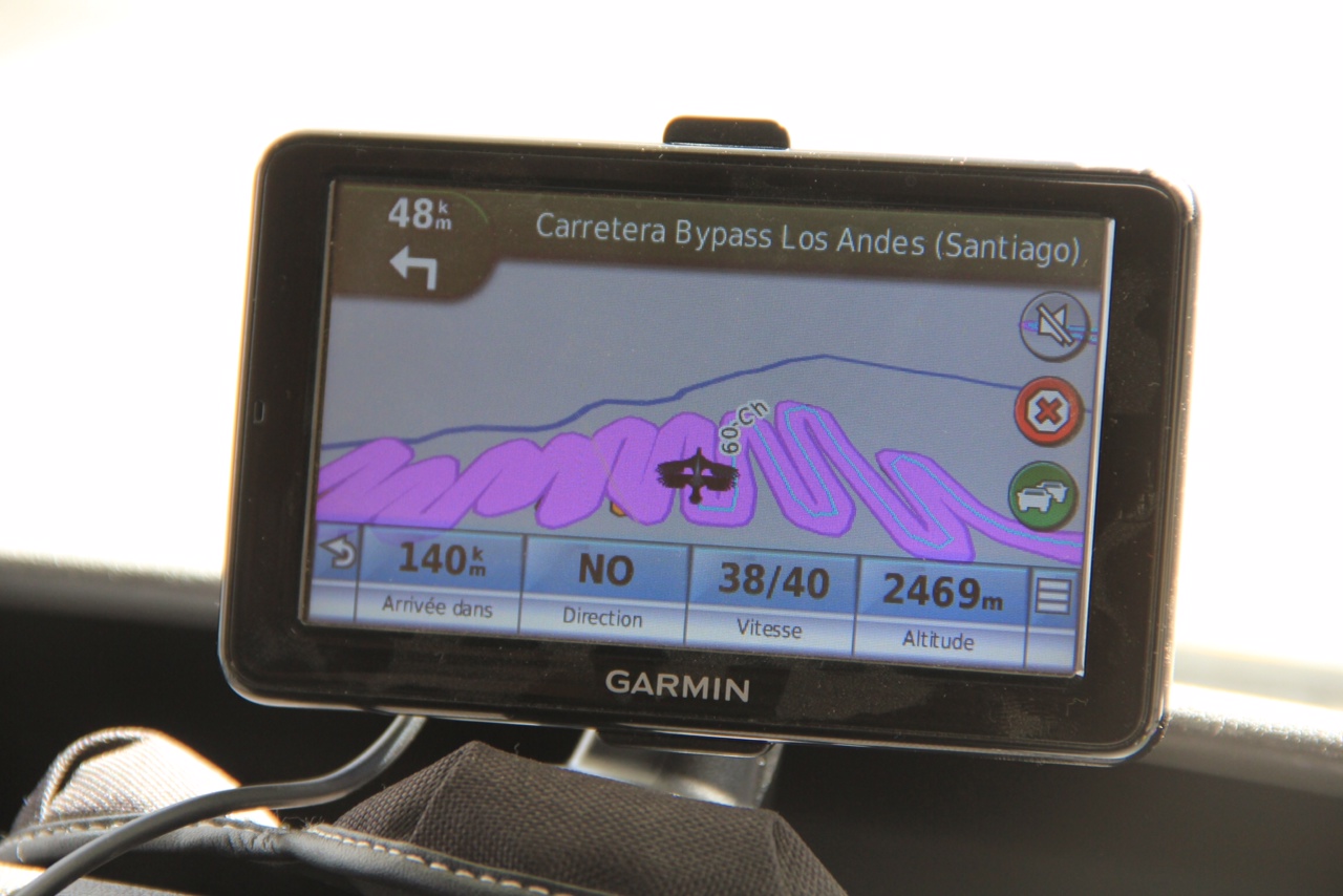
- Bonus for reading up to here, he’s a recent photo of a friend’s GPS while on a road trip with his family in the Andes