This is major news. The open source OpenLayers library is one of the most widely used web mapping software. After a complete overhaul of the venerable 2.x branch, OpenLayers 3.0 has been released.
From the announcement: “This release includes a ton of new features such as an easier to use API as well as improved vector rendering and image manipulation. […]
- OL3 & Google Maps API Compared: Now that Google Maps has deprecated JavaScript API v2, Andreas Hocevar reviews how the code for a typical map would look using OpenLayers 3 instead.
- Census Mapping Made Easy with OL3: In this post, Andreas describes how to build a census mapping application with OpenGeo Suite.
- Using OpenLayers 3 with Ember.js: Bart van den Eijnden shares some experiments creating a LayerSwitcher that supports layer grouping.
- OpenLayers 3 Vector Rendering: This post outlines how OpenLayers 3 pushes the boundaries when it comes to rendering vector data in a browser.
- Vector Editing with OpenLayers 3: Explore the great flexibility for working with vector data provided by the library.
- Editing in OpenLayers 3 using WFS-T: Bart outlines the building blocks needed to create an editing application using a transactional Web Feature Service .
- Build applications using OpenLayers 3 and OpenGeo Suite (Part 1, Part 2): Bart details how to build a generic viewer and a generic editing application using the OpenGeo Suite SDK.
- Ice Cubed: Building an application with OpenLayers 3: Matt Richards shows how he created an application to visualize changes in Arctic sea ice.”
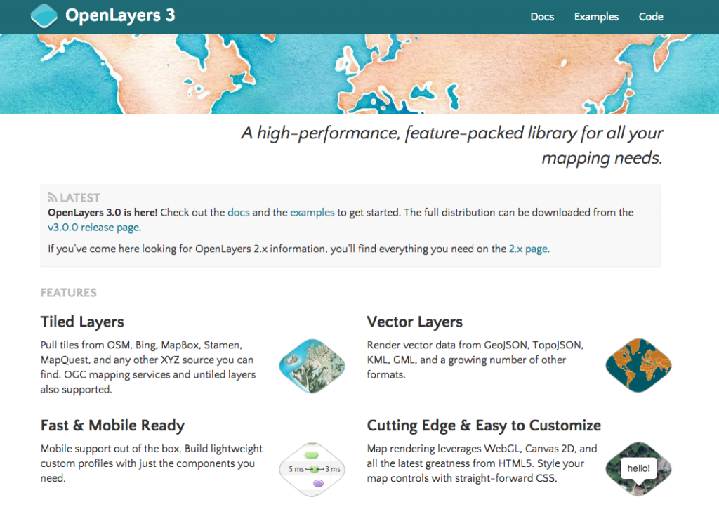
While the new official website is much nicer and modern, I expect more content (e.g. documentation) in the future.
2 comments
Pingback: OpenLayers 3.0 Released - Slashgeo | GeoWeb...
Pingback: OpenLayers 3.0 Released - Slashgeo | Outils...