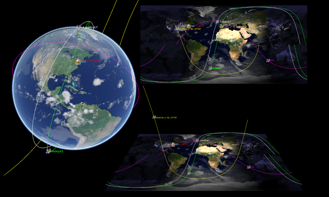
Cesium is an open-source JavaScript library for creating 3D and 2D web maps. It uses WebGL for hardware-accelerated graphics. Version 1.0 includes support for worldwide high-resolution terrain; global imagery from standards such as WMS, OpenStreetMap, Bing Maps, and ArcGIS MapServer; vector data from GeoJSON and TopoJSON; 3D models using glTF; and a large geometry library.
One comment
Pingback: Cesium 3D Web Mapping Library 1.0 Released - Sl...